
Walking the Stoneymollen coffin road (above Loch Lomond)
Pilgrimage Walk Itinerary
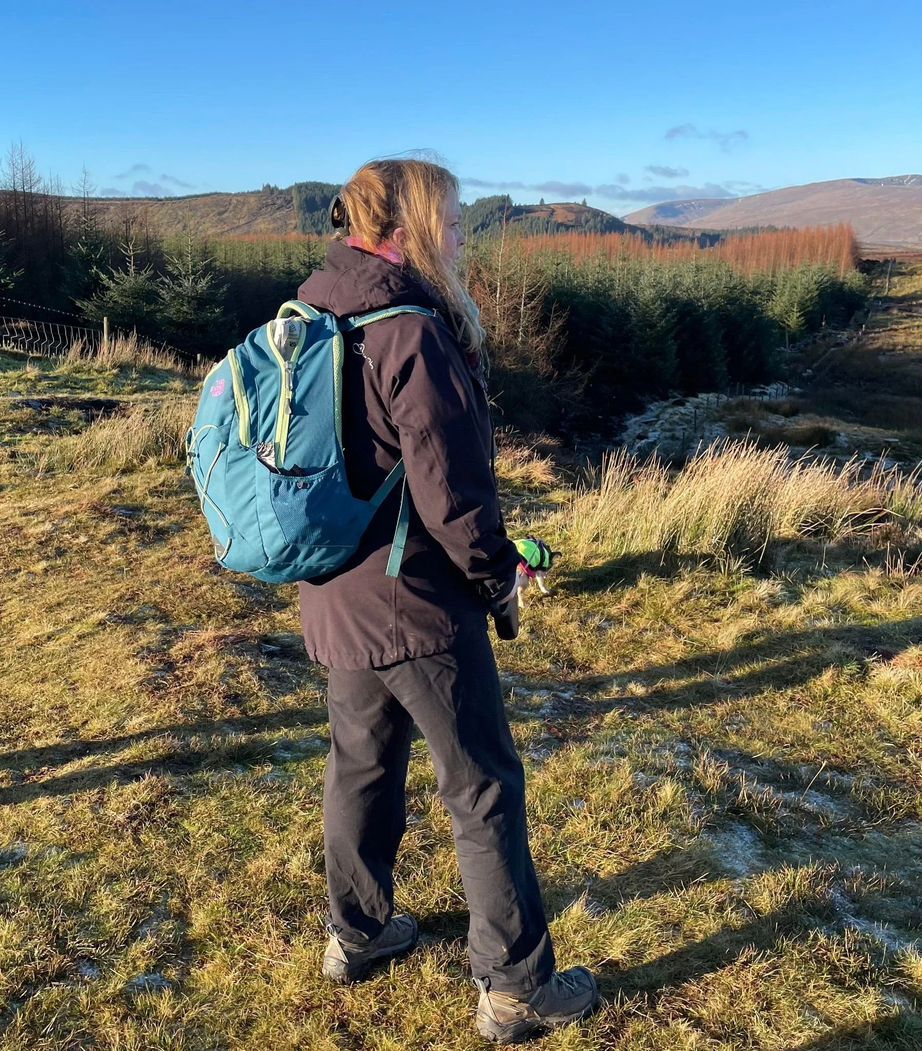
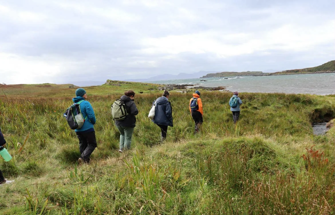
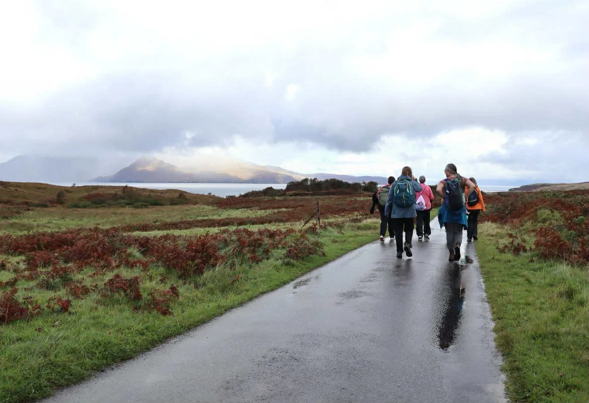
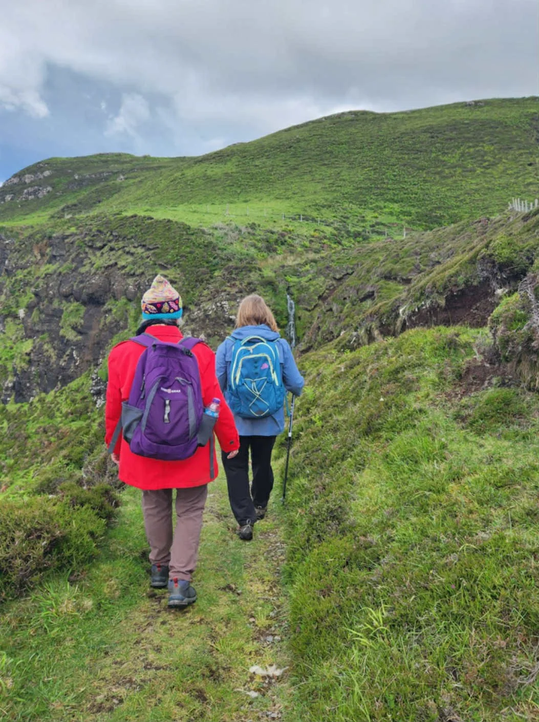
All walks are done at a medium pace, we take several breaks and the walks are mixed in with stops to explore plants, take in the view. I will be 57 next year, I am of a basic fitness, have asthma, and can managed these walks. We walk together as a group so no one is left behind. Safety is my top concern and we look out for one another, assisting each other over fences, styles and streams.
May - Kildonan Bay, Laig Bay, Forest, Sheela na Gig
July - Kildonnan Bay, Laig Bay, Forest, Singing Sands, Caves, Well of the Holy Woman, Sheela na Gig
August - Kildonnan Bay, Laig Bay, Forest, Sheela na Gig, Singing Sands, Caves, Well of the Holy Women - optional walk (group decision) Loch of the Holy Women
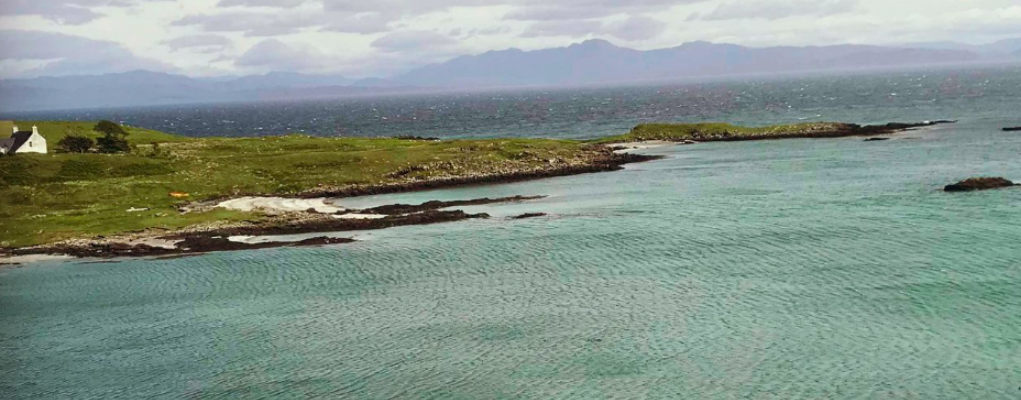
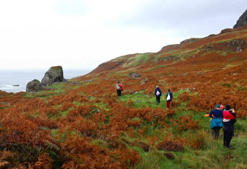
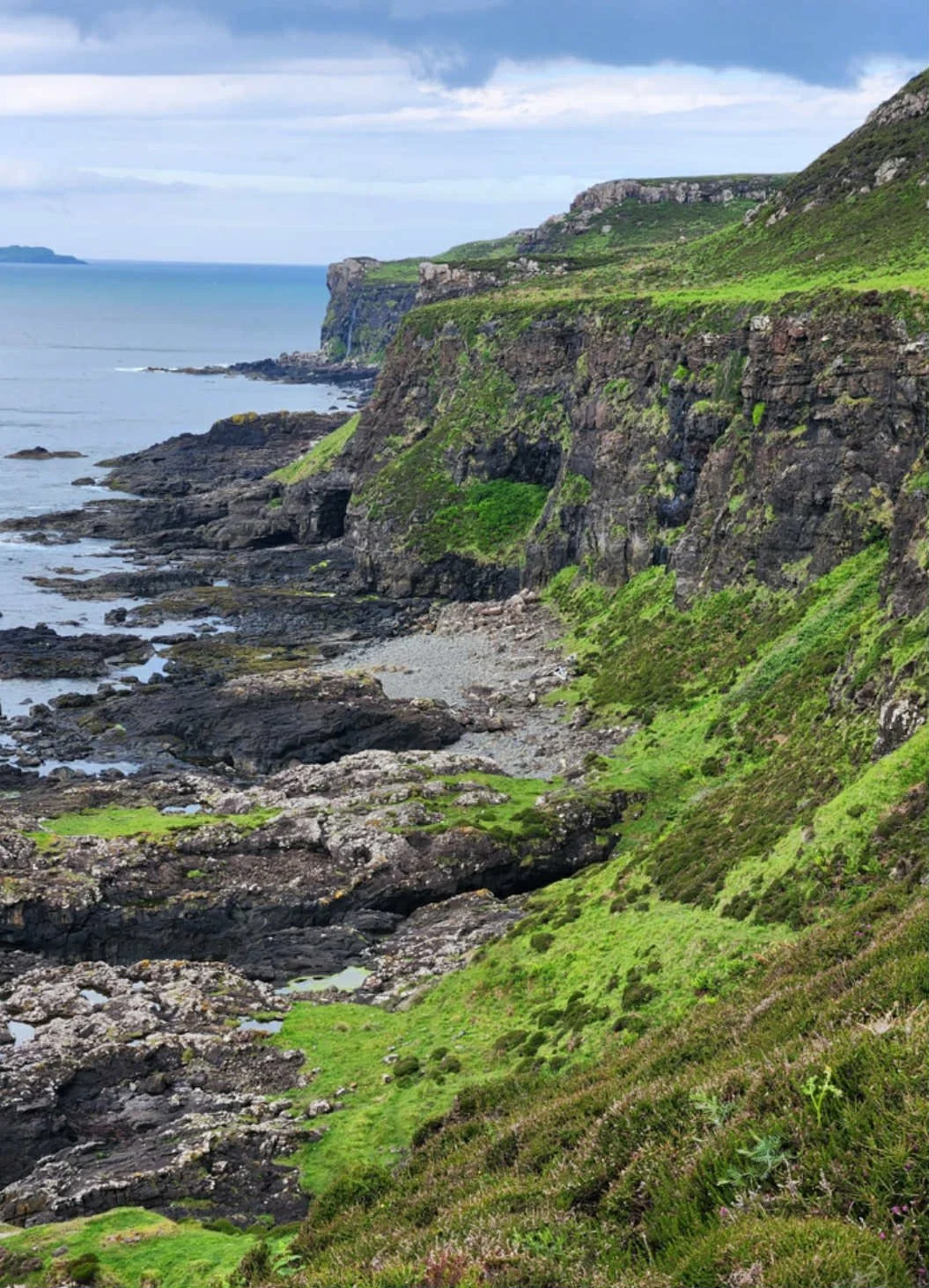
Seal Bay (Kildonnan Bay)
Kildonan Bay is a 40 minute walk from the hostel. This walk involves walking through a field, then taking a tarmac road down to Kildonnan Bay. We will then walk across marshy ground, over hillocks, walking over streams and small tidal pools to the bay shore.
Hostel to Kildonnan Bay
Distance: 1.5 miles, 2.4 km
Approximate walking time: 40 mins
Terrain: Tarmac path. Grassy path down to beach, stony surface, wet sand, grassy hillocks, slippery seaweed.
Elevation: Road approach to bay slightly steep but good condition tarmac road.
Note: Slippery and uneven surfaces on beach
Laig Bay
The walk to Laig Bay leaves the hostel and is mainly on a tarmac road.
Glebe Barn to Laig Bay
Distance: 2.5 miles, 4 km
Approximate walking time: 1 hour
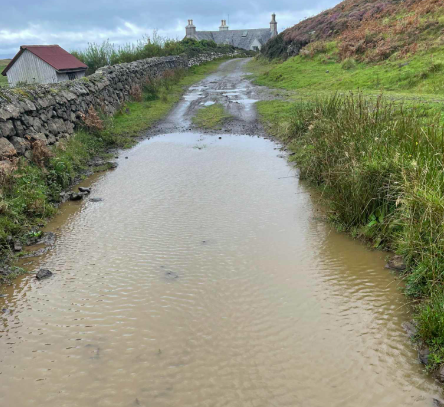
Terrain: Tarmac path, tracks, tracks can be flat, rough, churned up by cows
Elevation: One main steep hill on good condition road. Path to bay rocky and uneven, muddy with possible large puddles
Note: Cattle grid


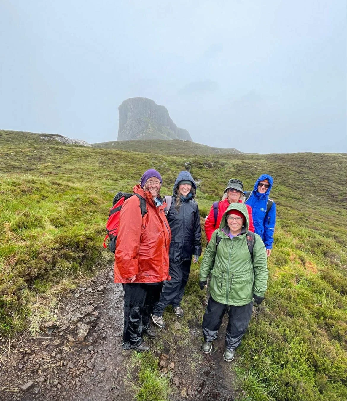
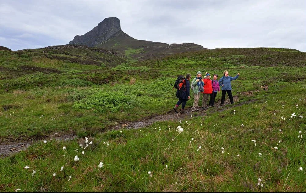
Singing Sands
The walk to the Singing Sands takes us onto the next bay from Laig Bay (see above). After reaching the road above Laig Bay we continue on through a field and then head down a stepped slope which takes us onto the sands.
Click here for further details on Walking Highlands website
Distance from hostel: 3 miles, 4.8 km approx
Approximate walking time: 1 hour 30 mins
Terrain: Tarmac path, tracks, tracks can be flat, rough, churned up by cows, boggy field
Elevation: One main steep hill on good condition road, walk through field, edge of cliff walking (with a borad ten foot path), then stairs down hill to the beach
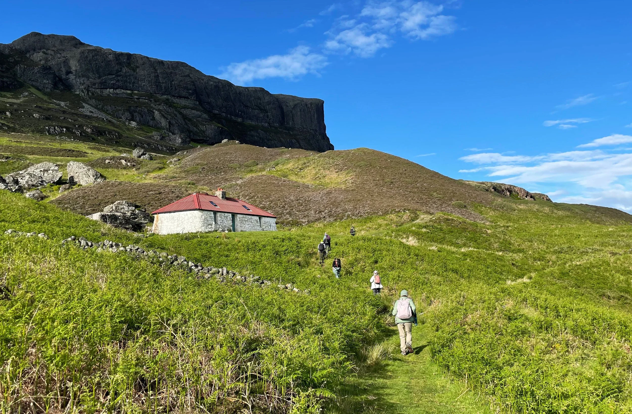
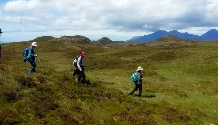
Well of the Holy Women, Grulin Village, the Coffin Road
The walk to the Well of the Holy Women takes us along the Coffin Road to the village of Grulin. After time at the well, we will walk back to the hostel walking the coffin road as part of our grief pilgrimage.
Distance: 2.5 miles, 4 km
Approximate walking time: 1 hour 15 mins
Terrain: Tarmac path, tracks, tracks can be flat, rough tone and churned up by cows
Elevation: One main but gentle elevation gain. Steeper path down to the well from main path
Note: Passing herd of cows, through few bolted fences, possible cattle grids
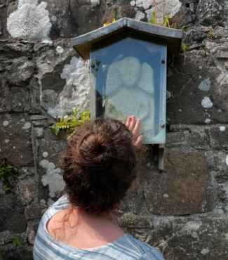
Sheela na Gig
The walk to the Sheela na Gig housed in the ruin of Kildonnan Church takes the same route as the walk to Kildonan Bay. We turn off before the road begins its decent to the bay, walking along a bare track.
Distance: 1.5 miles, 2.4 km
Approximate walking time: 30 mins
Terrain: Tarmac path, bare tracks, rocky
Note: Cattle grids, stony non tarmac road, wooden platform bridge

Loch of the Holy Women
Distance: 1.5 miles, 2.4 km
Approximate walking time: 30 mins
Terrain: Tarmac path, bare tracks, rocky
Note: Cattle grids, stony non tarmac road, wooden platform bridge
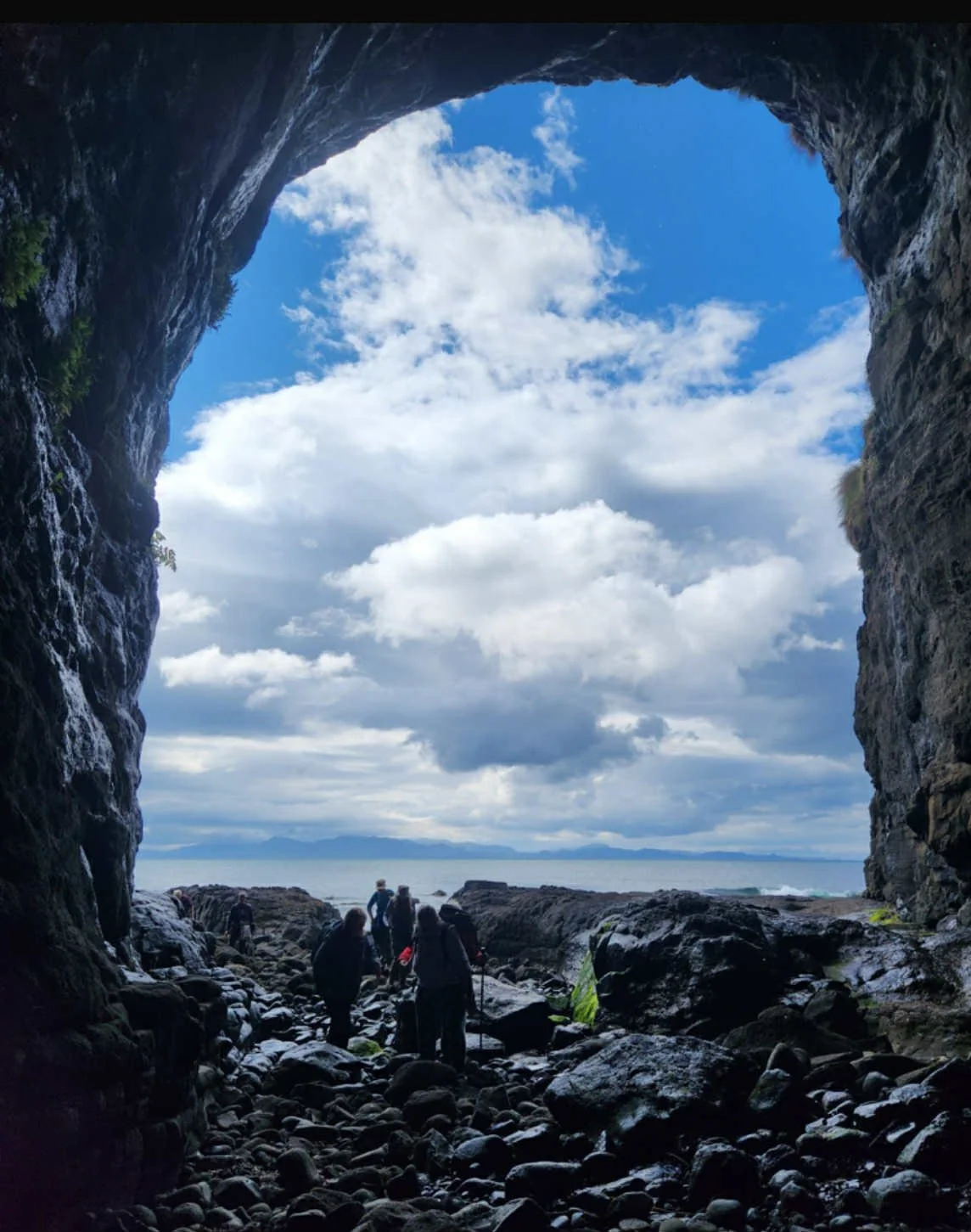

Caves
The walk to both the Cathedral and Massacre caves have the steepest walks. The road is a general elevation all the way on tarmac road, rough stony roads, until the cliff descent. This walk will depend on weather conditions and will not be on the itinerary if windy or raining.
Distance:
Approximate walking time: one hour
Descent 89 metres
Terrain: Tarmac path, bare tracks, rocky
Note: Cattle grids, stony non tarmac road, steep walk down to shorelines from cliff